

Cornelia Zelle, HR Specialist at Vexcel since 2019, enriches our team with her positive attitude.
Video: Unique features of the UltraCam Osprey 4.1

Watch the video about the innovative and game-changing features of the UltraCam Osprey 4.1.
Shinji Inaba in the spotlight

Learn more about Shinji Inaba, CTO at Mirukuru, and Vexcel sales partner for Japan and Korea.
Webinar Recording: About Vexcel – Our Vision and Mission

Watch this webinar and get insights into the company Vexcel Imaging and its vision and mission.
Meet Maja Baum

Maja joined the Vexcel Data Program team in Graz and works as a team-lead for image production.
Krzysztof Konieczny in the spotlight
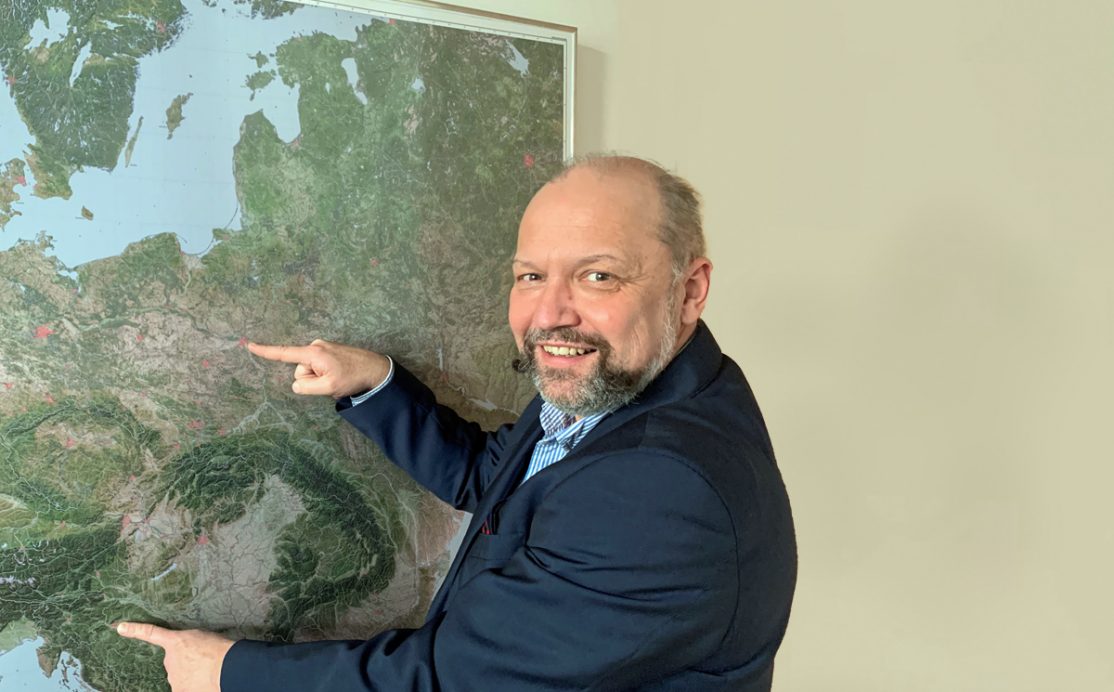
Get to know Krzysztof Konieczny, CEO of ECOGIS and long-term sales partner of Vexcel Imaging.
UltraCam Osprey 4.1 sample data

Check out the new sample data of the UCO 4.1 and gain an impression of the excellent image quality.
Hansa Luftbild takes off with a new UltraCam

Hansa Luftbild purchased a new UltraCam Eagle Mark 3 to perfectly meet their customer requirements.
Meet Charly Lothhammer

Get to know Charly Lothhammer, who works as a Senior Technical Consultant at Vexcel Imaging.
Webinar Recording: UltraMap 5.0 Best Practices

Watch the recording of the UltraMap 5.0 Best Practices webinar and get insights into new features.


