
Image
Menu
  • PRODUCTS
    • UltraCam
      Merlin
    • Menu_Thumbnail_UCE4.1_150x235pxUltraCam
      Eagle
    • UltraCam
      Osprey
    • Menu_Thumbnail_UCC4.1_150x235px_LogoUltraCam
      Condor
    • UltraCam
      Dragon
    • UltraMap
      suite
    • UltraNav UltraMount See all Products
  • DATA PROGRAM
  • NEWSROOM
  • INSIGHTS
    • Videos
    • Webinars
    • Papers
    • Case Studies
    • Sample Data
    • UltraMap Hub
    • NEWSROOM
  • COMPANY
    • About
    • UltraCam Family
    • ISO 9001
    • Careers
Menu
  • CONTACT
    • Sales
    • Support
    • Locations
Image
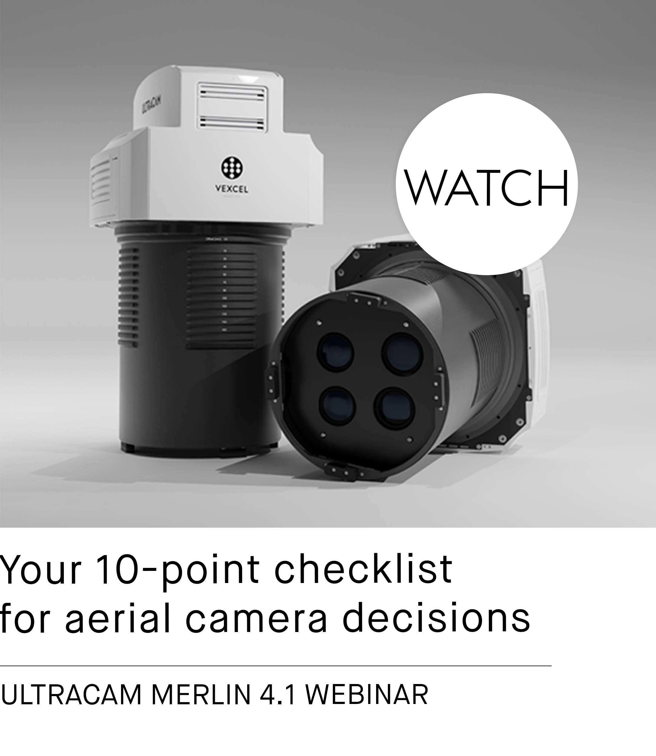
Tech Talk Recording
Watch
Webinar Recording

Celebrate with us: 20 Years of UltraCam

Anniversary 20 Years of UltraCam

The year 2023 marks the 20th anniversary of our remarkable camera product line, the UltraCam.

Read More

Eurosense generates textured LOD 2 city models from UltraCam imagery

3D City Modelling with UltraMap and RhinoTerrain

Eurosense has achieved outstanding results in creating vectorized building models of Graz, Austria.

Read More

Tuck Mapping adds capacity with an UltraCam Falcon Mark 2

Tuck Mapping purchases a second UltraCam Falcon to further increase flying efficiency.

Read More

Aerial Surveys International expands capacity with UltraCam Osprey 4.1

Aerial Surveys International chose an Osprey 4.1 for unprecedented flight collection efficiency.

Read More

NV5 Geospatial adds oblique capability with UltraCam Osprey 4.1

NV5 purchases an Osprey 4.1 to meet the demand for oblique image capture.

Read More

Aero-Graphics purchases two 4th generation UltraCam Eagle 4.1

Aero-Graphics relies on 4th generation UltraCam and AMC technology to further increase efficiency.

Read More

Navigate new waters with UltraMap version 6.0

Vexcel announces the release of UltraMap version 6.0 for professional aerial data production.

Read More

New Sales Partner for Morocco & Dem. Rep. of the Congo

Vexcel Sales Partner Lumensea

Our new sales partner Lumensea will sell Vexcel products in Morocco and the Dem. Rep. of the Congo.

Read More

Announcing new UltraNav version 7 including a new partnership with TopoFlight

UltraNav version 7 flight management system

Vexcel Imaging announces the new UltraNav version 7 including a new partnership with TopoFlight.

Read More

Push the limits of your aerial missions with the new UltraCam Eagle 4.1

New UltraCam Eagle 4.1

Vexcel announces the release of the new UltraCam Eagle 4.1 photogrammetric aerial camera system.

Read More
  • Page 4 of 6
  • ←
  • 1
  • ...
  • 3
  • 4
  • 5
  • ...
  • 6
  • →
The Global Leader in Aerial Imaging.
Vexcel provides industry-leading mapping systems, a dedicated fleet of fixed-wing aircraft, and the largest, most accurate aerial imagery and geospatial data program on the planet.
linkedin
facebook
youtube
youtube
Want the latest and greatest from our UltraCam blog straight to your inbox? Sign up for our newsletter
UltraCam aerial mapping systems and software. vexcel-imaging.com
Aerial imagery and data for government and business. vexceldata.com
Aerial surveys by fixed-wing aircraft. kasurveys.com
© 2026 Vexcel Imaging GmbH
  • Careers
  • Cookie Preferences
  • Privacy Policy
  • Imprint
  • Intranet
Get the latest news and updates in our Vexcel newsletter.

You are currently viewing a placeholder content from Google reCaptcha. To access the actual content, click the button below. Please note that doing so will share data with third-party providers.

Unblock content Accept required service and unblock content
More Information
  • PRODUCTS
    • ←
    • UC Merlin
    • UC Eagle
    • UC Osprey
    • UC Condor
    • UC Dragon
    • UltraMap suite
    • UltraNav
    • UltraMount
    • See All Products
  • DATA PROGRAM
  • NEWSROOM
  • INSIGHTS
    • ←
    • Videos
    • Webinars
    • Papers
    • Case Studies
    • Sample Data
    • UltraMap Hub
  • COMPANY
    • ←
    • About
    • UltraCam Family
    • ISO 9001
    • Careers
  • SEARCH
  • CONTACT
    • ←
    • Support
    • Sales
    • Locations