FMM's history
FMM specialized in forestry surveying from above

Forest Mapping Management GmbH
AUSTRIA
Today, we would like to introduce you to a small Austrian family business that specializes in forestry remote sensing and has become one of Europe’s leading aerial photography companies: Forest Mapping Management (FMM) GmbH. Founded in 1989, the company has its headquarters in Salzburg, Austria and is managed by Ing. Hermann Novak together with his wife Wiltraud Novak. FMM's customers include institutions such as forestry companies, energy providers, federal agencies, state surveying offices and many more.

The UltraCam Eagle M3 enables us to remain competitive in the aerial photography market in Europe. In combination with the Ultramap software, we are able to achieve the required quality in the processing of image data for our forestry customers in order to automatically derive essential forestry parameters. With Vexcel Imaging we have a reliable partner for the challenges in the world of digitalization.


The UltraCam Eagle M3 enables us to remain competitive in the aerial photography market in Europe. In combination with the Ultramap software, we are able to achieve the required quality in the processing of image data for our forestry customers in order to automatically derive essential forestry parameters. With Vexcel Imaging we have a reliable partner for the challenges in the world of digitalization.

Hermann Novak's love of the forest shaped him from childhood. After passing the state examination to become a forester nearly 50 years ago, he joined the Mayr-Melnhof forestry operations. After FMM's foundation in 1989, Hermann Novak entered the forestry remote sensing field as an aerial forestry photographer, using chartered aircraft and simple camera systems.
Later, FMM entered a partnership with Vexcel and improved its processes with the purchase of an UltraCam, a digital aerial camera system, as well as the processing software UltraMap. In addition, FMM acquired its own aircraft and was able to further expand its market position. Today, FMM sets the standard when it comes to digital intelligence and innovation.

Family Business.
The entrepreneurial couple Wiltraud and Hermann Novak in front of their two aircraft. FMM is one of the leading aerial photography companies in Europe.
© Techno-Z/Konrad Fersterer
FMM's history
Hermann Novak's love of the forest shaped him from childhood. After passing the state examination to become a forester nearly 50 years ago, he joined the Mayr-Melnhof forestry operations. After FMM's foundation in 1989, Hermann Novak entered the forestry remote sensing field as an aerial forestry photographer, using chartered aircraft and simple camera systems.
Later, FMM entered a partnership with Vexcel and improved its processes with the purchase of an UltraCam, a digital aerial camera system, as well as the processing software UltraMap. In addition, FMM acquired its own aircraft and was able to further expand its market position. Today, FMM sets the standard when it comes to digital intelligence and innovation.

Family Business.
The entrepreneurial couple Wiltraud and Hermann Novak in front of their two aircraft. FMM is one of the leading aerial photography companies in Europe.
© Techno-Z/Konrad Fersterer
Advanced technology as the key to success
In 2006, FMM purchased its first digital aerial camera system, the UltraCam Xp, which enabled the company to significantly increase the number of project areas and customers it could serve compared to previous technology. In 2020, FMM invested in a third generation UltraCam - the UltraCam Eagle Mark 3 - to continue offering market-leading quality. This camera system captures 10cm GSD at 5,000m above the ground and boasts an ultra-large footprint of 450 Megapixels. “With this sensor, it’s now possible to serve the needs of our customers even better”, stated Hermann Novak. “Because of the higher longitudinal and transverse coverage, projects can be completed faster, more homogeneously and therefore with higher quality.”
With the Eagle M3, it’s possible to fly higher, which saves FMM flight time, thus protecting the environment and reducing noise pollution for residents during project execution. FMM conducts their aerial surveys with their two fixed-wing aircraft (P68 Observer), really appreciating the "helicopter-like" glazed aircraft nose on this aircraft, that provides a unique "all-around" view of the project area. For processing the huge amount of data, FMM uses Vexcel Imaging’s photogrammetric software – the UltraMap workflow. To sum up, the latest airborne camera systems, two fixed-wing aircraft and cutting-edge hardware and software contribute to make FMM one of the leading aerial photography companies in Central Europe.

© Techno-Z/Konrad Fersterer
Forest 4.0
FMM's combination of digital high-resolution terrain models from laser flights, digital aerial imagery and artificial intelligence (AI) opens up a wide range of possible applications. This allows precision recording of the timber stock and determining tree species from the air for long-term forestry analyses and yield calculations. However, aerial photographs contain perspective effects that can lead to inaccurate measurements. To obtain a distortion-free and true-to-scale image of the forest surface, FMM therefore requires True Orthophotos, which are created by using the UltraMap post-processing software. The True Orthophotos allow the AI to recognize up to 15 different tree species in the native forests.
“And the AI is almost never wrong”, says Hermann Novak, adding "The quality of the data exceeds all our expectations!” Forest owners can call up forest evaluations at the push of a button, such as using the timbercontrol software developed by FMM, which determines tree growth and thus yield growth. One can say, that FMM never tires of investing in new technologies to offer its customers real added value. Due to the high dynamics of timber price development, collected data on timber stock and measurement and evaluation of forests have a high economic relevance for forest owners.

© Techno-Z/Konrad Fersterer

© Techno-Z/Konrad Fersterer
Forest 4.0
FMM's combination of digital high-resolution terrain models from laser flights, digital aerial imagery and artificial intelligence (AI) opens up a wide range of possible applications. This allows precision recording of the timber stock and determining tree species from the air for long-term forestry analyses and yield calculations. However, aerial photographs contain perspective effects that can lead to inaccurate measurements. To obtain a distortion-free and true-to-scale image of the forest surface, FMM therefore requires True Orthophotos, which are created by using the UltraMap post-processing software. The True Orthophotos allow the AI to recognize up to 15 different tree species in the native forests.
“And the AI is almost never wrong”, says Hermann Novak, adding "The quality of the data exceeds all our expectations!” Forest owners can call up forest evaluations at the push of a button, such as using the timbercontrol software developed by FMM, which determines tree growth and thus yield growth. One can say, that FMM never tires of investing in new technologies to offer its customers real added value. Due to the high dynamics of timber price development, collected data on timber stock and measurement and evaluation of forests have a high economic relevance for forest owners.

© Techno-Z/Konrad Fersterer

© Techno-Z/Konrad Fersterer
Hermann Novak interviewed by "Salzburger Nachrichten"
Watch the German video and listen to Hermann Novak talking about FMM’s field of work, the company philosophy and current projects.

By loading the video, you agree to YouTube's privacy policy.
Learn more
About FMM
Forest Mapping Management (FMM) GmbH specializes in forestry remote sensing and is one of the leading companies for aerial photography in Europe. FMM was founded in 1989 and is headquartered in Salzburg, Austria. In its early years, FMM concentrated mainly in forestry services. Forest inventories and management planning as well as digital forest maps and the implementation of geospatial data have been part of FMM's field of work ever since. FMM's latest developments concentrate on solutions for mobile devices. The company currently has 16 employees including computer scientists, geographers, surveyors, foresters, and pilots.
Learn more about FMM at: https://www.fmm.at/
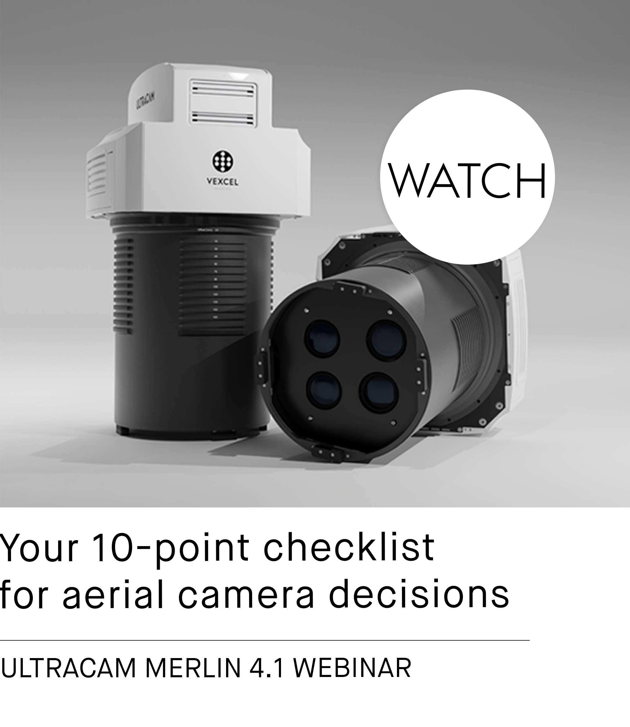
The UltraCam Eagle Mark 3 is an ultra-efficient, ultra-flexible, ultra-reliant camera for streamlined image acquisition for all your mission needs.


