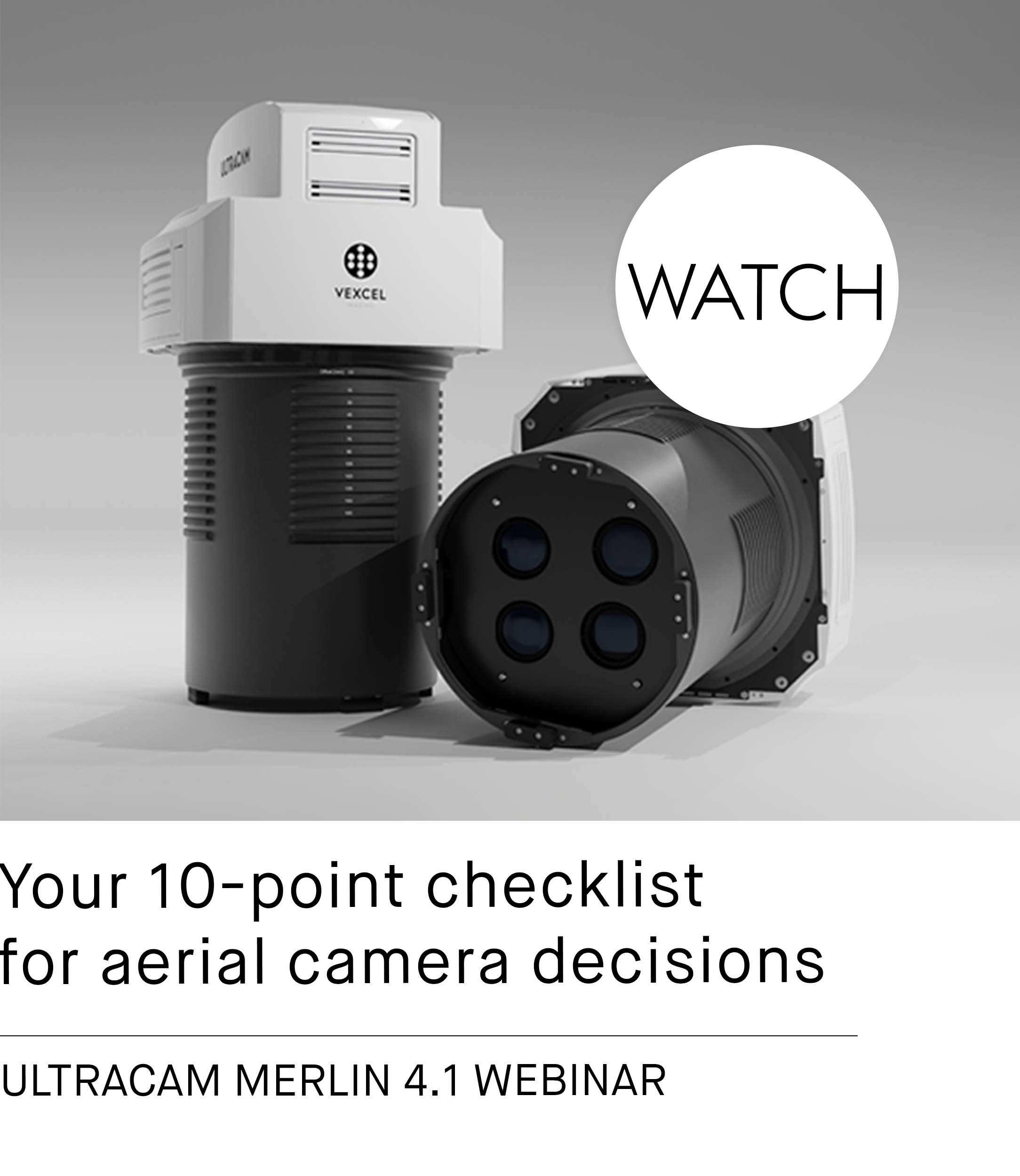
GeoFly purchases UltraCam Osprey 4.1 camera system
Graz, Austria • May 12, 2021
GeoFly GmbH from Magdeburg received their brand-new UltraCam Osprey 4.1 on April 16, 2021. The high-performance camera system of the latest generation impresses with absolute efficiency, razor-sharp images and an ultra-fast frame rate.
"We selected the UltraCam Osprey for the peace of mind that comes from knowing that it was developed based on sound photogrammetric principles and that we can therefore always rely on the system for precise results. Additionally, the UltraMap processing software provides a uniquely continuous workflow from data download to radiometric adjustments to oblique AT that is unmatched. The integration of the sensor and software are a winning advantage over other solutions on the market." explains Aicke Damrau, CEO of GeoFly GmbH.
The large format aerial camera simultaneously captures nadir and oblique images of photogrammetric quality, enabling unprecedented flight capture efficiency with industry-leading image and data quality. The UCO 4.1 captures a swath of 20,544 pixels per flight strip. This makes it possible to fly over areas faster because more area is captured per flight line. Furthermore, the achievable ground resolution can be increased to up to 3 cm per pixel.
"Our goal is still to meet customer needs for high-quality aerial images in the best possible way. We are sure that with the purchase of the UCO 4.1, we are leveraging the latest and most advanced aerial sensor technology to best meet the requirements and wishes of our customers.“ Damrau sums up confidently. The successful concept shows that GeoFly GmbH is right - the first use of the high-performance camera took place just a few hours after the initial installation.


About Geofly GmbH
GeoFly is a national and international operating aerial survey company. Their aerial survey and laser scanning flights result in high-quality photogrammetric products. Many years of experience and market presence as well as the latest technology in the field of camera systems, workstations and now also aircrafts form the basis for precise aerial imagery.
Read more: www.geofly.eu


