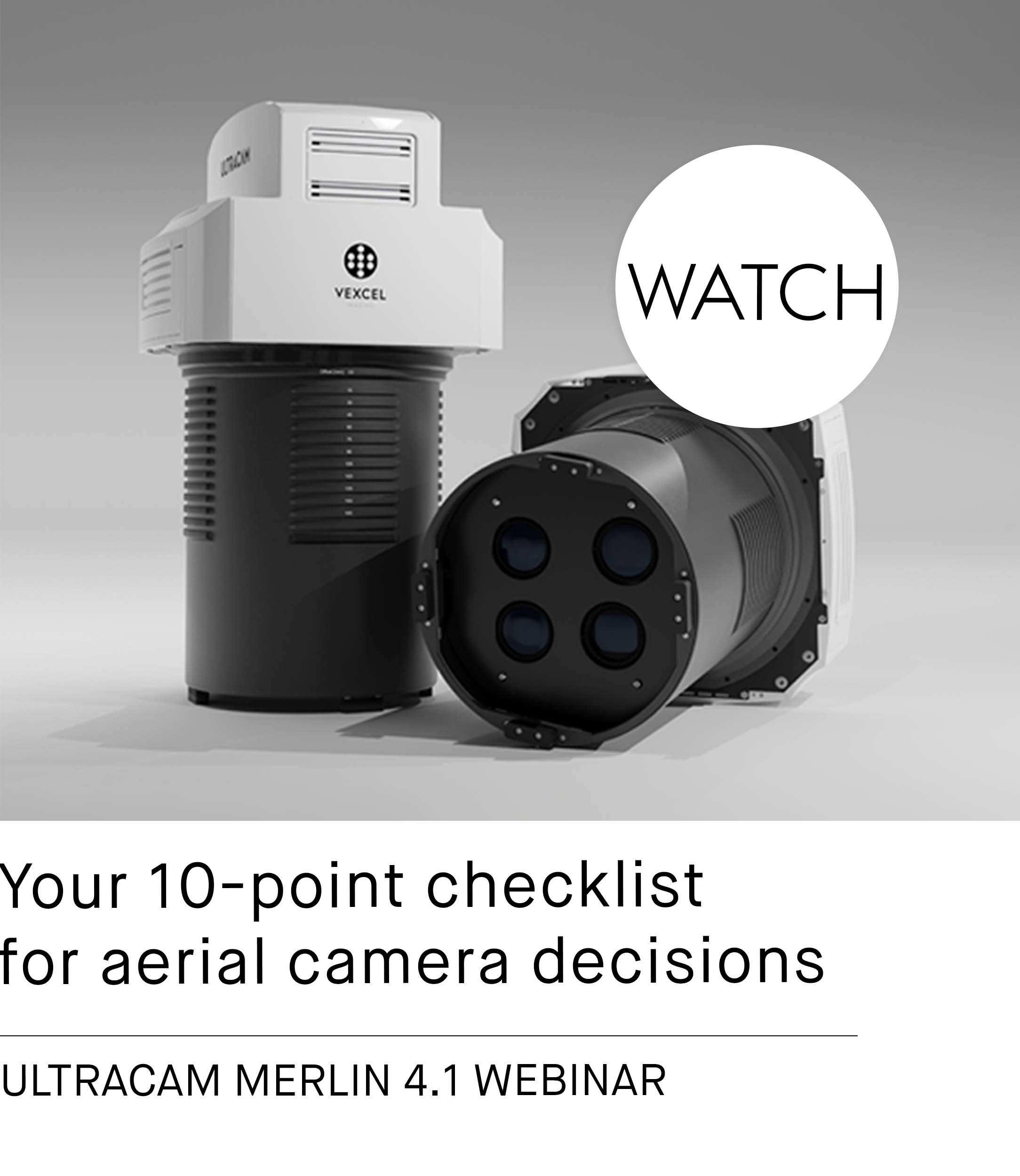
How about a little taste of our work?
See for yourself.

Videos

By loading the video, you agree to YouTube's privacy policy.
Learn more
Introducing the new
UltraCam Eagle 4.1:
We are excited to introduce our new UltraCam Eagle 4.1, the pinnacle of nadir photogrammetric aerial camera systems, collecting high-resolution panchromatic, R, G, B and NIR information at over 500 Megapixels. Watch the video to learn about the features and benefits of this efficient, flexible and accurate aerial camera.
95West Aerial Mapping:
I Fly UltraCam
95West Aerial Mapping was looking for ways to capture aerial and LiDAR data simultaneously and more cost-effectively. The company chose an UltraCam Eagle Mark 3, in addition to a RIEGL LiDAR scanner, because this camera clearly impressed in terms of resolution, sharpness and efficiency. 95 West is committed to delivering the highest quality data – and that’s why they fly UltraCam!

By loading the video, you agree to YouTube's privacy policy.
Learn more

By loading the video, you agree to YouTube's privacy policy.
Learn more
Introducing UltraCam Condor 4.1:
We are proud to introduce the next release based on Vexcel Imaging's 4th generation camera architecture: the UltraCam Condor 4.1. This camera is the ideal solution for best-in-class high-altitude and wide-area mapping, featuring an expansive image footprint of 48,462 pixels.
Watch the video to learn more about the industry-leading key features and design updates.
Next generation
UltraCam Osprey 4.1:
We are proud to present the next generation UltraCam Osprey 4.1, a highly versatile large-format aerial camera for the simultaneous collection of photogrammetric-grade nadir and oblique imagery.
Watch the video to learn more about the industry-leading system architecture, key features and design updates.

By loading the video, you agree to YouTube's privacy policy.
Learn more

By loading the video, you agree to YouTube's privacy policy.
Learn more
HPE and Qumulo:
A powerful team for the hybrid cloud for VDP
With the Vexcel Data Program (VDP), a cloud-based aerial imagery and data library, we kick off a new era of data acquisition.
For our processing center in Graz, we have implemented a hybrid cloud infrastructure from HPE and Qumulo providing powerful software and infrastructure for this storage-intensive application.
TerraTec:
I Fly UltraCam
Oceans, mountains, glaciers and forests all packed together in quite small areas: TerraTec faces a challenging terrain in Norway. In order to get detailed information from the bright and shadowed areas, a reliable and efficient camera with high dynamic range is mandatory. That’s why TerraTec chooses UltraCam.

By loading the video, you agree to YouTube's privacy policy.
Learn more

By loading the video, you agree to YouTube's privacy policy.
Learn more
Sabah Lands & Surveys Department:
I Fly UltraCam
For about five years, Sabah's Lands & Surveys department has been thinking about getting a new camera. Finally, the department purchased the Osprey camera from Vexcel Imaging. The decisive factor was the ‘two in one camera’ feature: getting photogrammatic nadir and oblique images at the same time!
Ramani:
I Fly UltraCam
With difficult flying conditions in Africa, Ramani Geosystems needed a reliable large-format camera that could capture larger images in a shorter flight time. Ramani decided that there was no comparison to the UltraCam for quality, price and operational efficiency. That's why Ramani chooses UltraCam.

By loading the video, you agree to YouTube's privacy policy.
Learn more

By loading the video, you agree to YouTube's privacy policy.
Learn more
UltraMap
UltraMap is the single, most-efficient aerial software workflow to process high quality UltraCam aerial photography. This video briefly demonstrates the functionality of the main modules of UltraMap v3.9.
UltraCam Eagle
Lens System Exchange
The UltraCam Eagle ultra-large format camera system is the only photogrammetric digital aerial sensor that features an user-exchangeable lens system allowing customers to take full advantage of the entire camera footprint of 23,000 pixels across the flight strip at different altitudes. Our support engineer demonstrates how to change from the 210 mm to the 80 mm lens.

By loading the video, you agree to YouTube's privacy policy.
Learn more

By loading the video, you agree to YouTube's privacy policy.
Learn more
Topocart:
I Fly UltraCam
In response to logistical challenges and dangerous conditions in Africa, Topocart required state of-the-art imaging and high capacity digital storage combined with the personal attention of a knowledgeable support team. That's why Topocart chooses UltraCam.
Peace Map:
I Fly UltraCam
Driven by customer demand for high-quality aerial images, Peace Map switched from film cameras to the UltraCam digital aerial cameras and purchased six cameras. The company now delivers superior images with up to 30 percent more efficiency and plans to purchase more UltraCam cameras in the future.

By loading the video, you agree to YouTube's privacy policy.
Learn more

By loading the video, you agree to YouTube's privacy policy.
Learn more
Société Topographie Informatique:
I Fly UltraCam
Société Topographie Informatique (STI) wanted to expand into the digital aerial survey market. The company chose the UltraCamXp photogrammetric digital aerial camera from Vexcel Imaging and since then benefits from faster image capture and processing, lower overall costs and expanded business opportunities.
Keystone:
I Fly UltraCam
Recognizing the demand for high-quality digital aerial images, Keystone Aerial Surveys switched from film cameras to UltraCam large format digital aerial cameras from Vexcel Imaging. In this feature video, Keystone staff explains how the UltraCam digital aerial sensors allow the company to take advantage of new business opportunities.

By loading the video, you agree to YouTube's privacy policy.
Learn more
Papers
High Altitude - High Volume - High Quality:
The UltraCam Condor from Vexcel Imaging
UltraCam Eagle Prime
Aerial Sensor Calibration & Validation
New AT Interface
Visual Analytics
Managing large blocks of aerial images
Introduction
New DSM Interaction
3D DSM Editor
We'll be happy to show you more!
How about a little taste of our work?
A ping-pong ball has a diameter of 40 millimeters. That’s quite small. Still, the UltraCam captured it in full detail from 1,200 meters above ground.
See for yourself.

Videos

By loading the video, you agree to YouTube's privacy policy.
Learn more
Introducing the new
UltraCam Eagle 4.1:
We are excited to introduce our new UltraCam Eagle 4.1, the pinnacle of nadir photogrammetric aerial camera systems, collecting high-resolution panchromatic, R, G, B and NIR information at over 500 Megapixels. Watch the video to learn about the features and benefits of this efficient, flexible and accurate aerial camera.

By loading the video, you agree to YouTube's privacy policy.
Learn more
95West Aerial Mapping:
I Fly UltraCam
95West Aerial Mapping was looking for ways to capture aerial and LiDAR data simultaneously and more cost-effectively. The company chose an UltraCam Eagle Mark 3, in addition to a RIEGL LiDAR scanner, because this camera clearly impressed in terms of resolution, sharpness and efficiency. 95 West is committed to delivering the highest quality data – and that’s why they fly UltraCam!

By loading the video, you agree to YouTube's privacy policy.
Learn more
Introducing
UltraCam Condor 4.1:
We are proud to introduce the next release based on Vexcel Imaging's 4th generation camera architecture: the UltraCam Condor 4.1. This camera is the ideal solution for best-in-class high-altitude and wide-area mapping, featuring an expansive image footprint of 48,462 pixels.
Watch the video to learn more about the industry-leading key features and design updates.

By loading the video, you agree to YouTube's privacy policy.
Learn more
Next generation
UltraCam Osprey 4.1:
We are proud to present the next generation UltraCam Osprey 4.1, a highly versatile large-format aerial camera for the simultaneous collection of photogrammetric-grade nadir and oblique imagery.
Watch the video to learn more about the industry-leading system architecture, key features and design updates.

By loading the video, you agree to YouTube's privacy policy.
Learn more
HPE and Qumulo:
A powerful team for the hybrid cloud for VDP
With the Vexcel Data Program (VDP), a cloud-based aerial imagery and data library, we kick off a new era of data acquisition. For our processing center in Graz, we have implemented a hybrid cloud infrastructure from HPE and Qumulo providing powerful software and infrastructure for this storage-intensive application.

By loading the video, you agree to YouTube's privacy policy.
Learn more
TerraTec:
I Fly UltraCam
Oceans, mountains, glaciers and forests all packed together in quite small areas: TerraTec faces a challenging terrain in Norway. In order to get detailed information from the bright and shadowed areas, a reliable and efficient camera with high dynamic range is mandatory. That’s why TerraTec chooses UltraCam.

By loading the video, you agree to YouTube's privacy policy.
Learn more
Sabah Lands & Surveys Department:
I Fly UltraCam
For about five years, Sabah's Lands & Surveys department has been thinking about getting a new camera. Finally, the department purchased the Osprey camera from Vexcel Imaging. The decisive factor was the ‘two in one camera’ feature: getting photogrammatic nadir and oblique images at the same time!

By loading the video, you agree to YouTube's privacy policy.
Learn more
Ramani:
I Fly UltraCam
With difficult flying conditions in Africa, Ramani Geosystems needed a reliable large-format camera that could capture larger images in a shorter flight time. Ramani decided that there was no comparison to the UltraCam for quality, price and operational efficiency. That's why Ramani chooses UltraCam.

By loading the video, you agree to YouTube's privacy policy.
Learn more
UltraMap
UltraMap is the single, most-efficient aerial software workflow to process high quality UltraCam imagery. This video briefly demonstrates the functionality of the main modules of UltraMap v3.9.

By loading the video, you agree to YouTube's privacy policy.
Learn more
UltraCam Eagle
Lens System Exchange
The UltraCam Eagle ultra-large format camera system is the only photogrammetric digital aerial sensor that features an user-exchangeable lens system allowing customers to take full advantage of the entire camera footprint of 23,000 pixels across the flight strip at different altitudes. Our support engineer demonstrates how to change from the 210 mm to the 80 mm lens.

By loading the video, you agree to YouTube's privacy policy.
Learn more
Topocart:
I Fly UltraCam
In response to logistical challenges and dangerous conditions in Africa, Topocart required state of-the-art imaging and high capacity digital storage combined with the personal attention of a knowledgeable support team. That's why Topocart chooses UltraCam.

By loading the video, you agree to YouTube's privacy policy.
Learn more
Peace Map:
I Fly UltraCam
Driven by customer demand for high-quality aerial images, Peace Map switched from film cameras to the UltraCam digital aerial cameras and purchased six cameras. The company now delivers superior images with up to 30 percent more efficiency and plans to purchase more UltraCam cameras in the future.

By loading the video, you agree to YouTube's privacy policy.
Learn more
Société Topographie Informatique:
I Fly UltraCam
Société Topographie Informatique (STI) wanted to expand into the digital aerial survey market. The company chose the UltraCamXp photogrammetric digital aerial camera from Vexcel Imaging and since then benefits from faster image capture and processing, lower overall costs and expanded business opportunities.

By loading the video, you agree to YouTube's privacy policy.
Learn more
Keystone:
I Fly UltraCam
Recognizing the demand for high-quality digital aerial images, Keystone Aerial Surveys switched from film cameras to UltraCam large format digital aerial cameras from Vexcel Imaging. In this feature video, Keystone staff explains how the UltraCam digital aerial sensors allow the company to take advantage of new business opportunities.
Papers
High Altitude - High Volume - High Quality: The UltraCam Condor from Vexcel Imaging
UltraCam Eagle Prime: Aerial Sensor Calibration & Validation
New AT Interface
Visual Analytics
Managing large blocks of aerial images
Introduction
New DSM Interaction
3D DSM Editor
We'll be happy to show you more!


