
NV5 Geospatial adds oblique capability with UltraCam Osprey 4.1
Graz, Austria • 14 February 2023
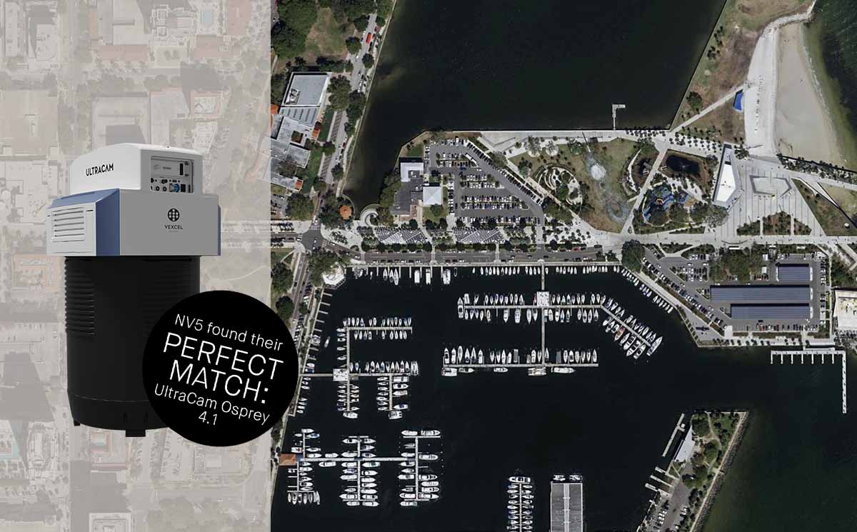
Leading geospatial solutions provider NV5 Geospatial took delivery of the first UltraCam Osprey 4.1 aerial imaging system sold in North America in August 2022. The dual photogrammetry-grade nadir and oblique capabilities of the Osprey 4.1 enable unprecedented flight collection efficiency at industry-leading image and data quality.
The 4th generation UltraCam Osprey 4.1 also introduces significant technological advances, including a move to CMOS sensors, a significantly increased frame rate, and an innovative Adaptive Motion Compensation (AMC) feature. The new AMC method compensates for multi-directional motion and rotation inducted image blur and additionally compensates for ground sampling distance variations in oblique imagery to produce sharper images.
“As NV5 Geospatial has successfully utilized two UltraCam Eagle Mark 3 imagery sensors for numerous years to support our ortho imagery program and clients nationwide, it only made sense that when comparing oblique sensors, we found the UltraCam Osprey 4.1 exceeded our expectations,” said Robert Vander Meer, vice president, state & regional vertical lead at NV5 Geospatial. “As we look to expand our oblique imagery program, our clients will benefit from the accuracy, efficiency, and quality of the imagery produced by the Osprey 4.1.”
The UltraCam Osprey 4.1 meets diverse application needs ranging from 3D mapping to traditional mapping applications from the same flight mission. The sensor collects 1.2 Gigapixels every 0.7 seconds with 20,544 pixels PAN across track at nadir, resulting in fewer flight lines and therefore higher flight collection efficiency, and four oblique views of 150 Megapixels each.
“The panchromatic channel in the nadir section was a requirement for us because it creates a sharper image, and the nadir capability gives us additional digital capacity complementing our other two UltraCam Eagles,” Jon Wittman, vice president of data acquisition at NV5 Geospatial said. “In terms of detail resolution, clarity and dynamic range, the Osprey 4.1 delivers exactly what we need.”
Vexcel’s photogrammetry aerial software UltraMap fully leverages nadir and oblique images for aero-triangulation, allowing for highly accurate geometric results for imagery/photogrammetry and geospatial data generation such as point clouds, DSMs, DTMs and 3D TINs.
“We are seeing more demand for oblique imagery from all our clients, so it was a logical next step for NV5 Geospatial to provide this capability as a full-service provider,” Wittman added. “We’re excited to use this new and extremely efficient Osprey for a statewide collection that NV5 Geospatial is flying over the next two years in partnership with a substantial consortium of other UltraCam Osprey operators that we have assembled. This project is especially noteworthy due to the numerous partners and Osprey systems involved.”
“The advanced capabilities of the Osprey 4.1 are the result of many years of research and development at Vexcel,” said Alexander Wiechert, CEO of Vexcel Imaging. “We’re pleased that NV5 Geospatial recognizes the value of these advancements and has selected the Osprey 4.1 for such a critical program and to serve their growing demand for high-quality oblique and nadir aerial imagery.”
About NV5 Geospatial
NV5 Geospatial is a leading provider of geospatial services, providing end-to-end solutions and insights to organizations that need geospatial intelligence to mitigate risk, plan for growth, better manage resources and advance scientific understanding. We combine the widest array of advanced remote sensing technologies with proprietary processes, analytics tools, algorithms, and analyses tailored to meet our clients’ needs.
About Vexcel Imaging
Vexcel Imaging, a global leader in aerial imaging, develops cutting-edge large-format aerial cameras and photogrammetric software with innovative approaches, and places an emphasis on continuing product upgrades and world-class support. The broad UltraCam aerial camera portfolio covers all applications in airborne photogrammetry—from nadir to oblique to wide-area data collection. UltraCam data is processed with the UltraMap photogrammetry software, providing an end-to-end processing workflow for highly automated, quality data products that include point clouds, digital surface and terrain models, orthophotos and 3D TINs.


