UltraCam Osprey 4.1
New perspectives on 3D aerial mapping.
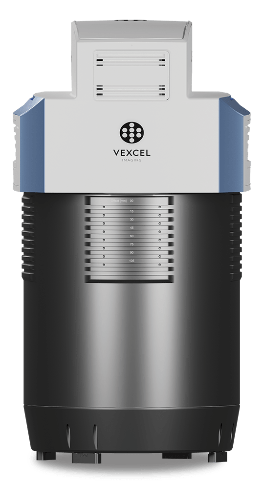
Aerial camera collecting nadir & oblique imagery.
Features
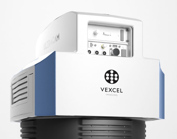
Next generation photogrammetric nadir large format camera with oblique capture capabilities.
The UltraCam Osprey 4.1 meets diverse application needs ranging from 3D mapping to traditional mapping applications from the same flight mission.

By loading the video, you agree to YouTube's privacy policy.
Learn more
The system pushes urban flight productivity to new levels, collecting 1.2 Gigapixels every 0.7 seconds. Customers can fly faster, cover more area and capture more detail.
The UltraCam Osprey allows customers to push operational requirements to new limits: Fly at lower sun angles or both in overcast and clear weather conditions.
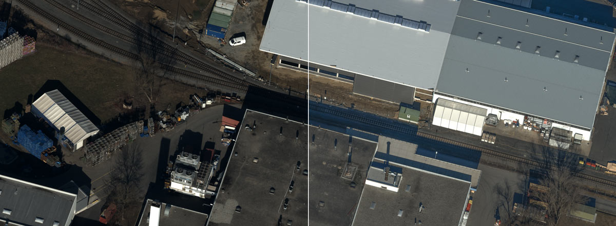
Increased image resolution with high dynamic range.
As a result of a combination of industry-leading customized lens systems, next generation image sensors with custom electronics, and a best-in-class image processing pipeline, the UltraCam Osprey 4.1 delivers imagery of unprecedented quality in terms of detail resolution, clarity and dynamic range.
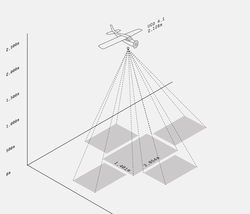
Setting new standards in 3D mapping.
With this airborne camera system, customers can fly faster and cover more area at the same time.
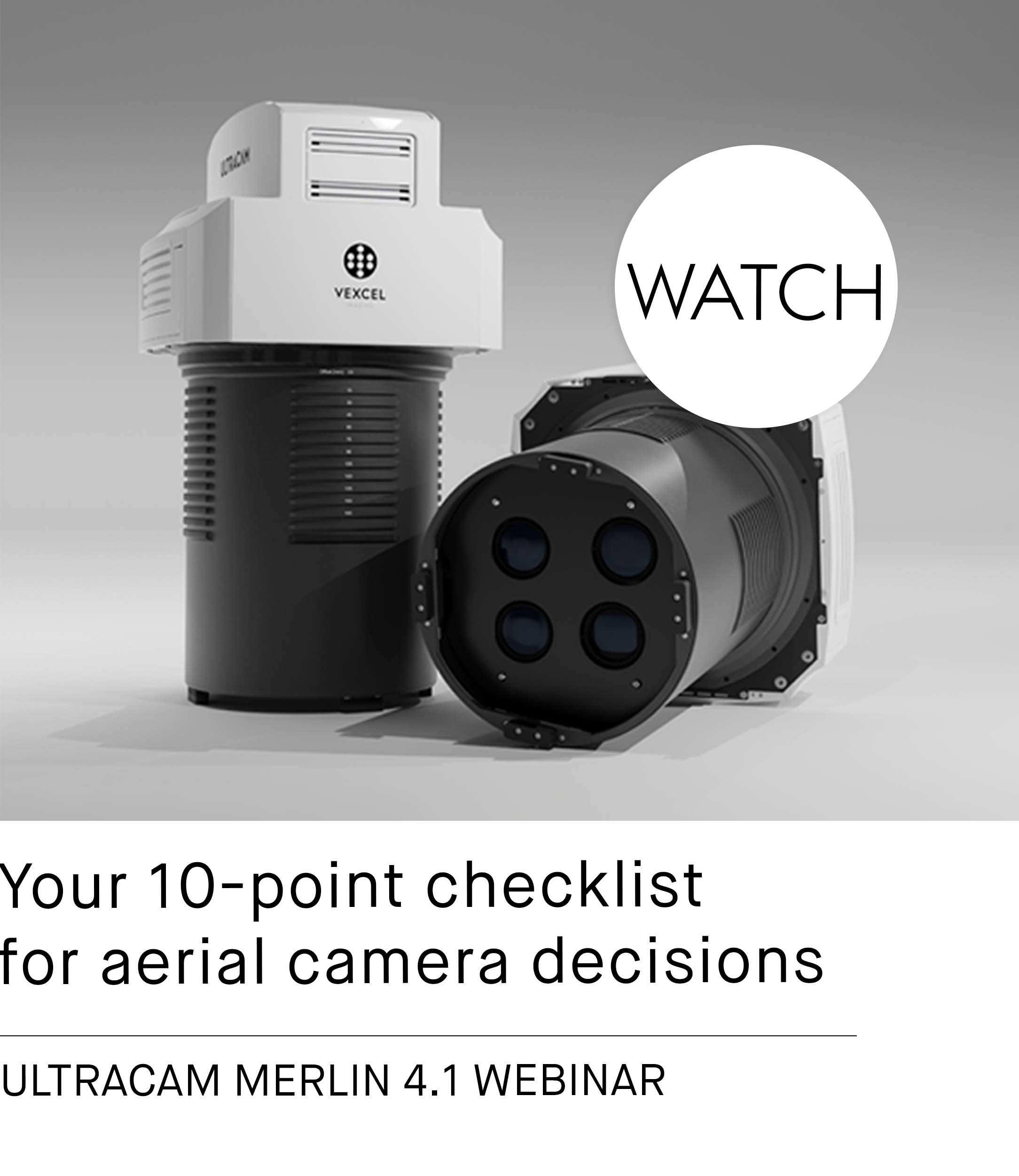
UltraCam Osprey 4.1 Webinar
Learn more about the system architecture and key features of the UltraCam Osprey 4.1 aerial camera system.
Multi-directional motion compensation.
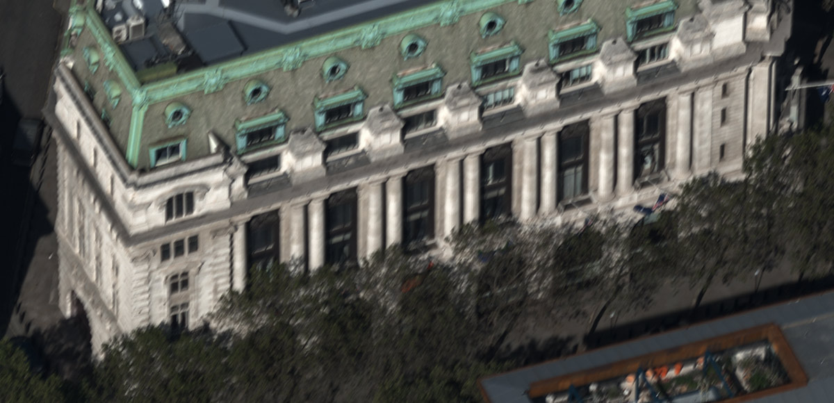
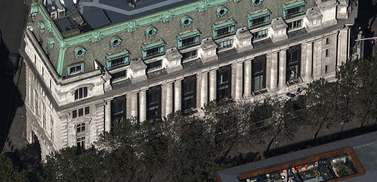
The new and innovative Adaptive Motion Compensation (AMC) method compensates for multidirectional motion inducted image blur and additionally compensates for ground sampling distance variations in oblique imagery for unprecedented vividness and sharpness. The difference between no motion compensation and Adaptive Motion Compensation (AMC) is demonstrated in the picture below by moving the arrow to the left and right.
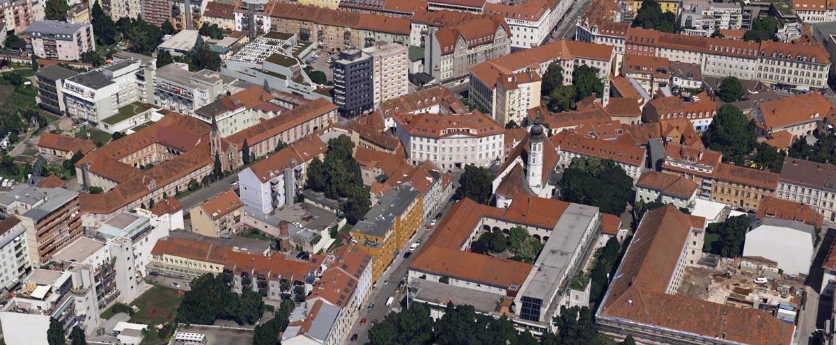
Our photogrammetry aerial software UltraMap fully leverages nadir and oblique images for areo-triangulation allowing for highly accurate geometric results. By leveraging UltraMap to process nadir and oblique imagery from the UCO 4.1 data, the system becomes a super precise measuring instrument for imagery/photogrammetry and meta data generation such as point clouds, DSMs, DTMs and 3DTins.
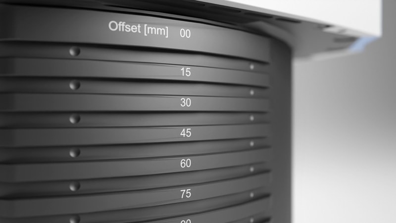
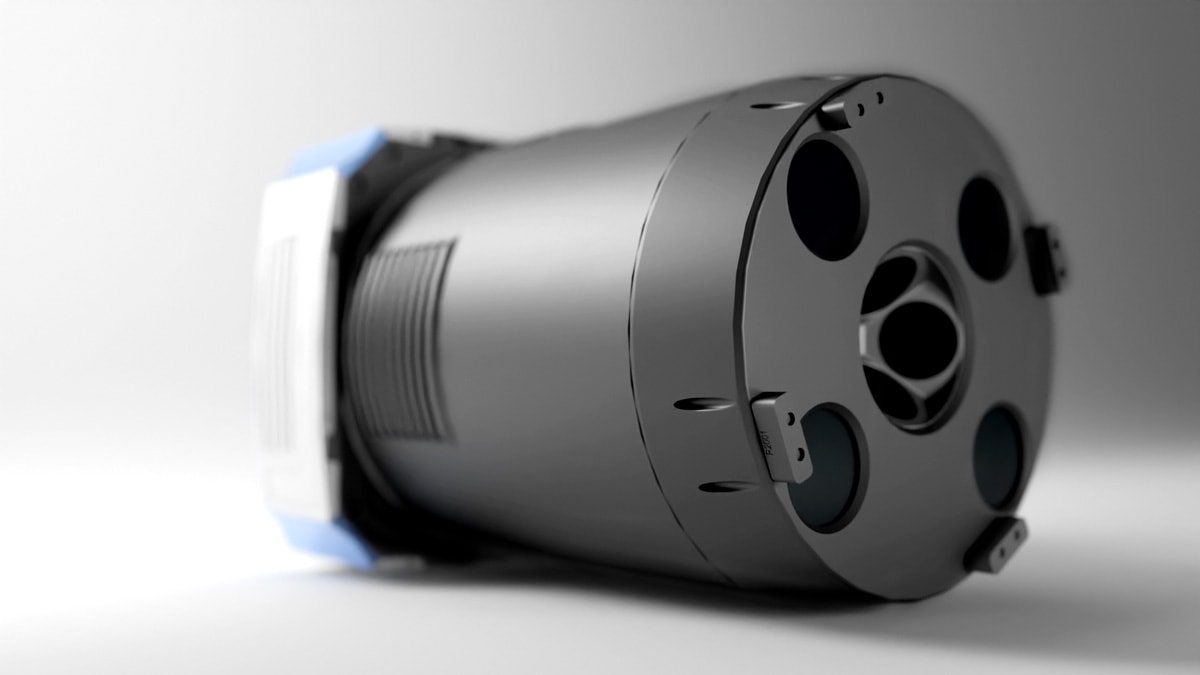
Design updates for increased overall usability.
Amongst others: reduced camera head extending aircraft options to even smaller planes, easier installation without camera lifter through optimized field of view and ridged cylinder design for precision mounting.


AICKE DAMRAU, ULTRACAM OSPREY CUSTOMER
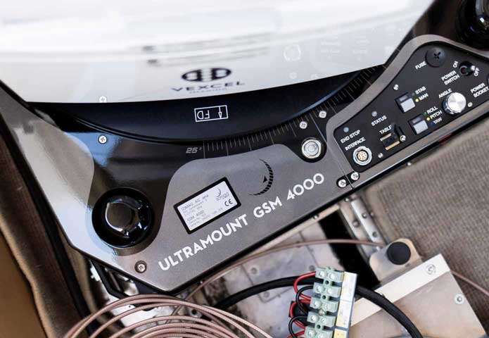
Smooth sailing.
The UltraMount product line dynamically stabilizes the UltraCam Osprey aerial camera in the aircraft for blur-free, consistent and aligned exposures.
Always on track.
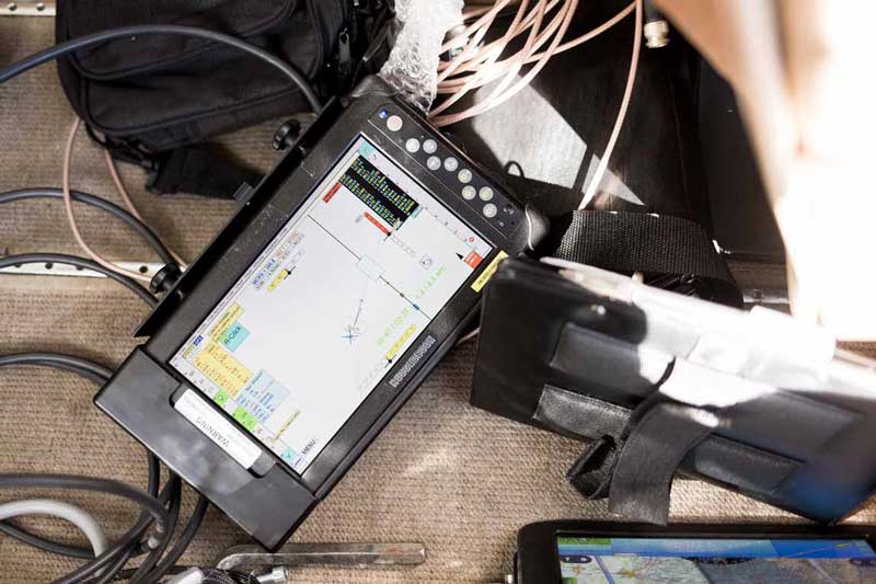
Flight management and geo-referencing with UltraNav optimizes your flight mission for utmost productivity at highest precision.
Downloads
Taking collection efficiency to new heights.
UltraCam Osprey 4.1
New perspectives on 3D aerial mapping.

Aerial camera collecting nadir & oblique imagery.
Features

Next generation photogrammetric nadir large format camera with oblique capture capabilities.
The UltraCam Osprey 4.1 meets diverse application needs ranging from 3D mapping to traditional mapping applications from the same flight mission.

By loading the video, you agree to YouTube's privacy policy.
Learn more
The UltraCam Osprey allows customers to push operational requirements to new limits: Fly at lower sun angles or both in overcast and clear weather conditions.

As a result of a combination of industry-leading customized lens systems, next generation image sensors with custom electronics, and a best-in-class image processing pipeline, the UltraCam Osprey 4.1 delivers nadir and oblique imagery of unprecedented quality in terms of detail resolution, clarity and dynamic range.

Setting new standards in 3D mapping.
With this airborne camera system, customers can fly faster and cover more area at the same time.
UltraCam Osprey 4.1 Webinar
Learn more about the system architecture and key features of the UltraCam Osprey 4.1 aerial camera system.
Multi-directional motion compensation.
The new and innovative Adaptive Motion Compensation (AMC) method compensates for multidirectional motion inducted image blur and additionally compensates for ground sampling distance variations in oblique imagery for unprecedented vividness and sharpness. The difference between no motion compensation and Adaptive Motion Compensation (AMC) is demonstrated in the picture below by moving the arrow to the left and right.


Automated generation of high-precision 3D city models.
Our photogrammetry aerial software UltraMap fully leverages nadir and oblique images for areo-triangulation allowing for highly accurate geometric results. By leveraging UltraMap to process nadir and oblique imagery from the UCO 4.1 data, the system becomes a super precise measuring instrument for imagery/photogrammetry and meta data generation such as point clouds, DSMs, DTMs and 3DTins.


Design updates for increased overall usability.
Amongst others: reduced camera head extending aircraft options to even smaller planes, easier installation of this large format camera without camera lifter through optimized field of view and ridged cylinder design for precision mounting.


AICKE DAMRAU,
ULTRACAM OSPREY CUSTOMER

Smooth sailing.
The UltraMount product line dynamically stabilizes the UltraCam Osprey aerial camera in the aircraft for blur-free, consistent and aligned exposures.

Always on track.
Flight management and geo-referencing with UltraNav optimizes your flight mission for utmost productivity at highest precision.
Downloads
Taking collection efficiency to new heights.
