
UltraMap
All-in-one aerial photogrammetry software
Photogrammetry post-processing software.
UltraMap is the all-in-one photogrammetric processing software for rapid and large-scale generation of point clouds, DSMs, DTMs, ortho imagery and 3D textured TINS from UltraCam imagery.
Produce geospatial products of the highest quality
Create true photogrammetric-quality products with a modular workflow from data ingest to ortho export for nadir and oblique UltraCam imagery. The streamlined processing in one intuitive application includes efficient data interaction and editing, powerful visualizations, straightforward quality control tools and the option of manual interaction, where needed.
Successfully complete projects of any size and for any delivery schedule with flexible subscription licensing choices and highly efficient distributed processing for best performance and scalability.

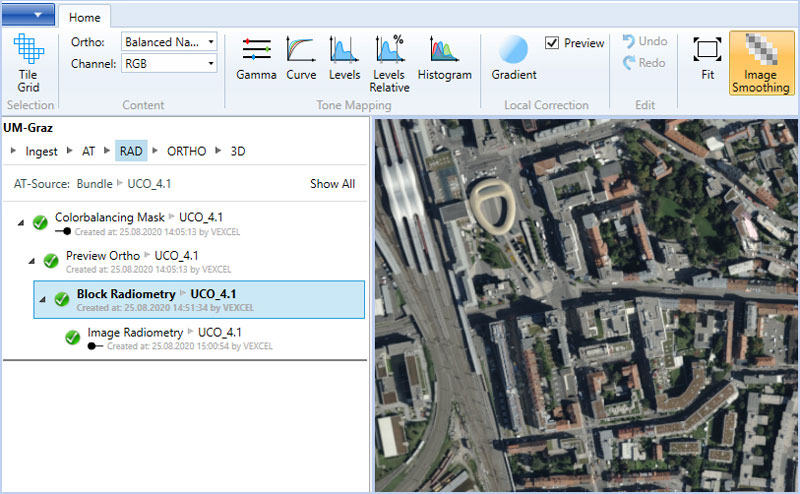
Radiometrically aligned images in PAN, RGBI, RGB, CIR
TIFF (8/16 Bit), JPEG, GeoTIFF, WorldFile
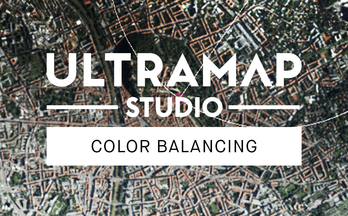
Automatically color balances all nadir & oblique imagery and converts raw UltraCam images into standard file formats to be used for further processing steps into UltraMap or third-party software systems.

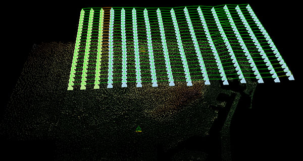
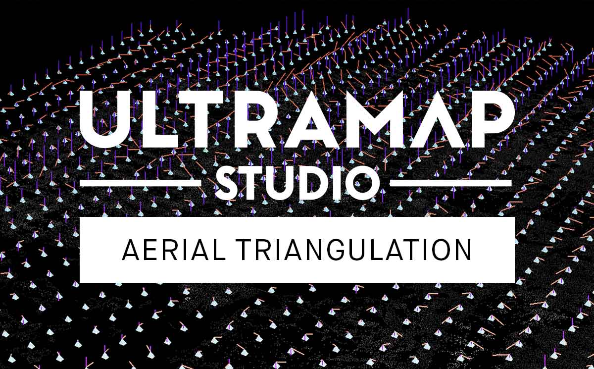
Exterior orientations
CSV, Bingo, PAT-B
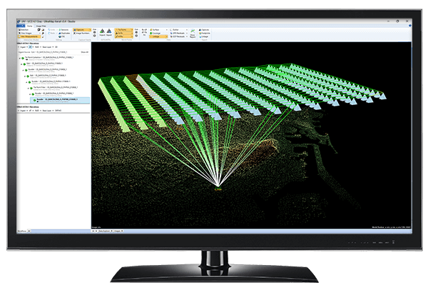
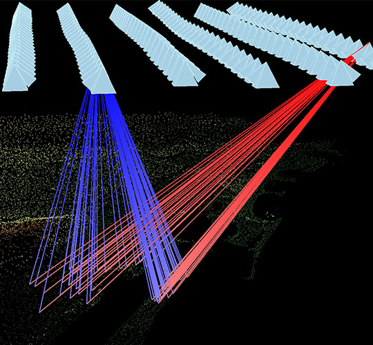
Provides an interactive multi-directional workflow for nadir & oblique cameras while calculating image correspondences. Generates precise exterior orientation for an entire image block by means of least-squares bundle adjustment.
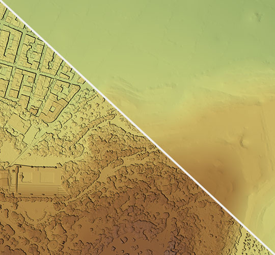
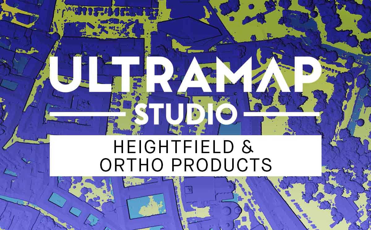
DSMs, DTMs and colored point clouds
GeoTIFF, LAS
Creates high-density point clouds, DSMs and DTMs from aerial images with sharp edges and accurate geometry by extrapolating precise exterior orientation data to generate per-pixel height values.
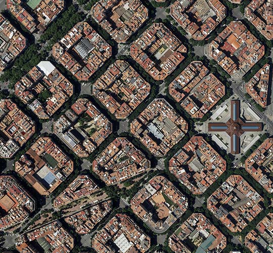
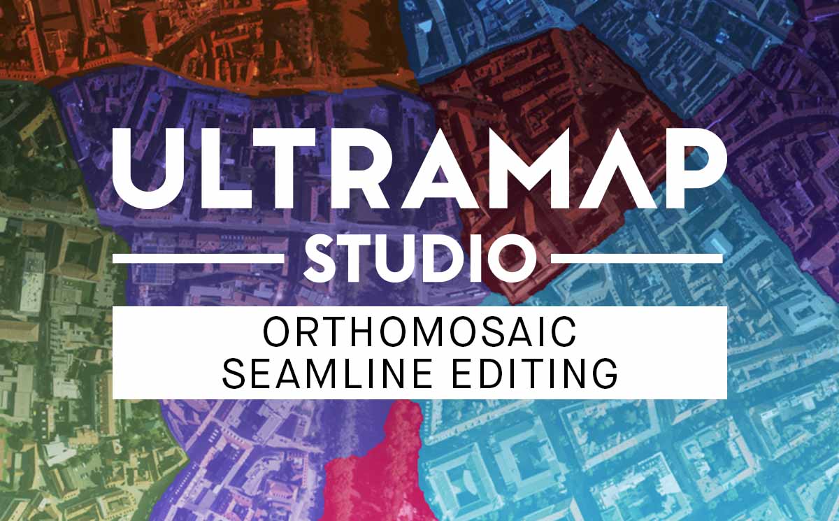
DSMOrthos and DTMOrthos
GeoTIFF, WorldFile, Seamlines
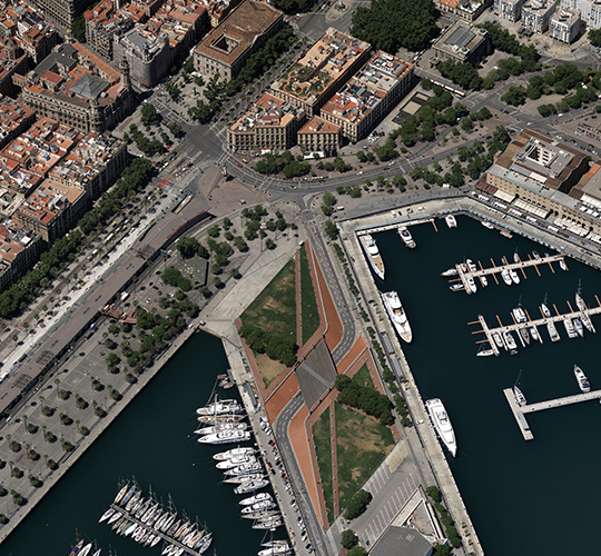
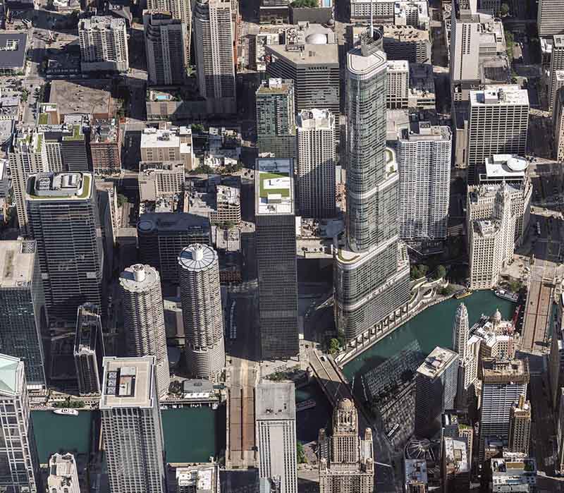
Generates sharp and noise-free ortho mosaics with fine detail throughout the entire image from all available inputs such as aerial imagery, AT results, radiometric settings & height field.

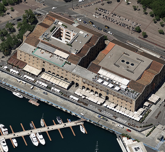
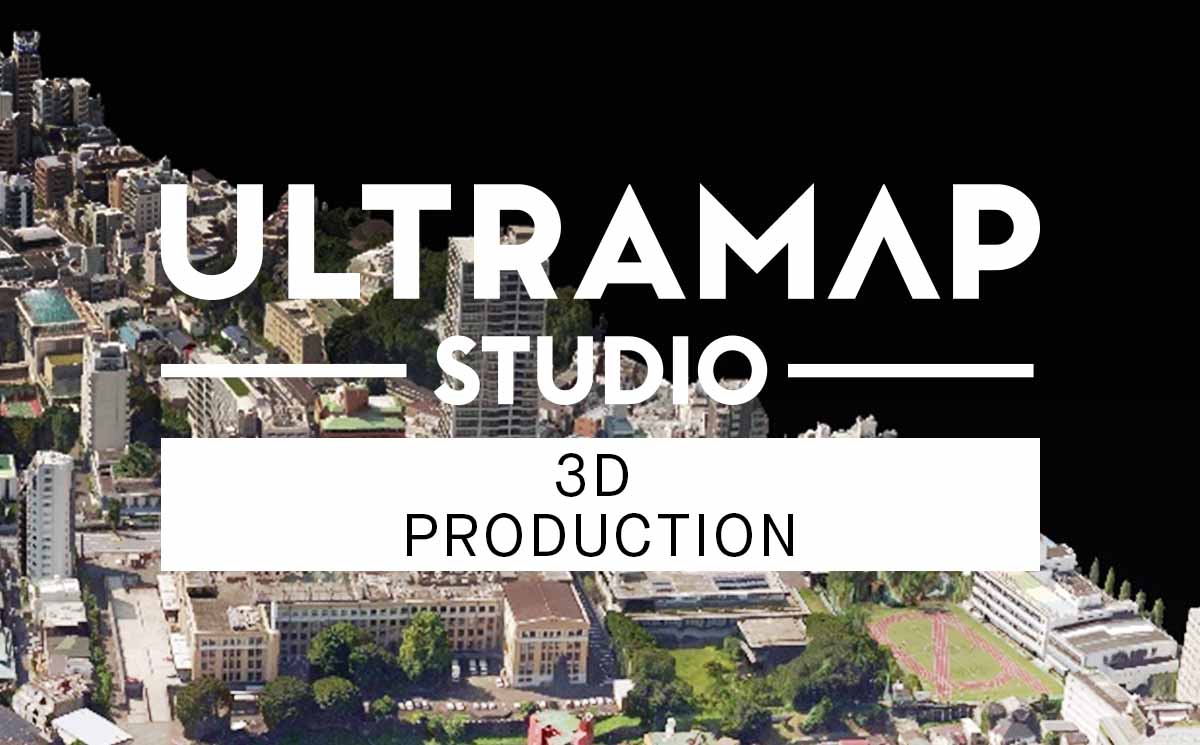
3D textured TIN, point clouds
LAS, OBJ, DAE, OSGB, LODTreeExport
UltraMap enables basic automated 3D textured TIN functionality. The package provides 3D data generation as well as interactive view & export options.
INTRODUCING
UltraMap 6.0
Highly automated processing capabilities
One software application for the entire photogrammetric workflow.
One consistent workflow from Ingest to Ortho Export facilitates traceability in one project file.
Continue reading about the Navigator, a key instrument in UltraMap Studio for organizing the production workflow.
Powerful distributed processing.
Setup and flexibly configure processing clusters before and during operation with optional GPU support for Heightfield generation and benefit from unlimited amount of front-end users.
Innovation path.
Constantly updated and fully backward-compatible feature sets. Data quality of older UltraCam generations continues to improve through software updates.
Efficient data import & export.
Import and export vector data for representation of restricted areas, water geometry and ground/non-ground.
World-class technical support.
Rely on photogrammetric professionals for support and participate in individual trainings or group workshops.
Highly efficient data interaction.
Flexibly define target regions through tile selection for processing, easily handle huge project sizes and set your pre-selected user settings as default.
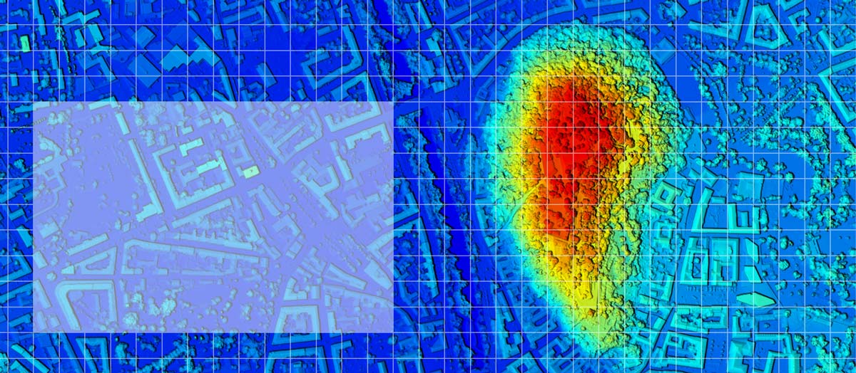
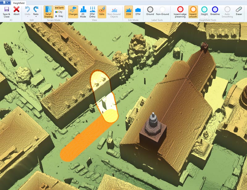
Monitoring & diagnosis through intelligent quality control tools.
UltraMap helps you detect emerging issues at an early stage to react quickly, save processing time and to deliver the final product faster.
UltraMap Demo Webinar
Learn about the key features of UltraMap and access a demonstration with best practice examples.
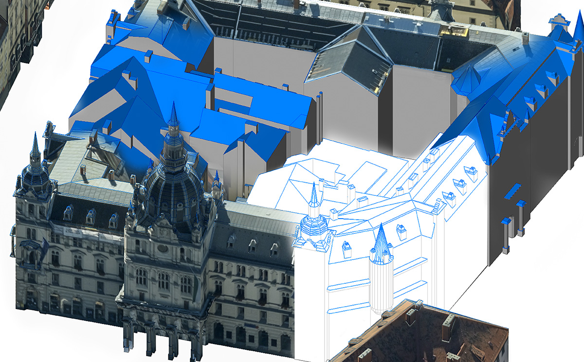
Vectorized 3D city models.
A complete end-to-end workflow solution enables the creation of true 3D building models from UltraCam imagery up to level of detail (LOD) 3, using UltraMap, RhinoTerrain and DAT/EM software solutions.
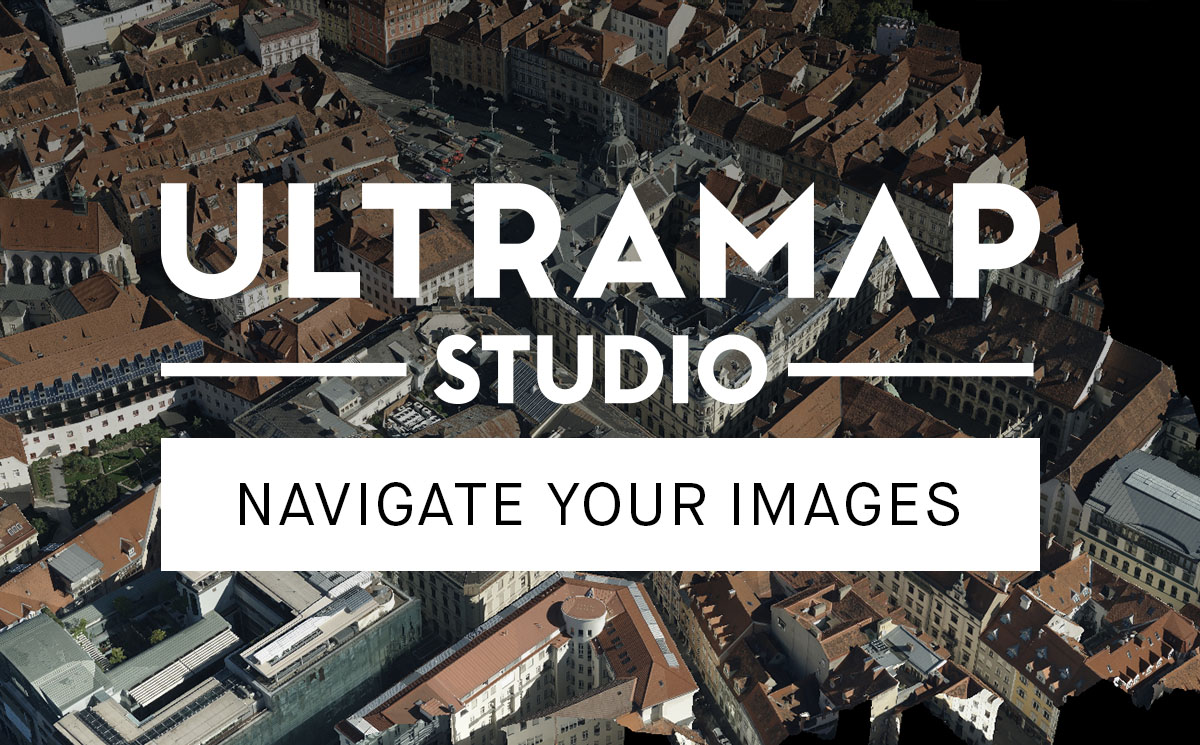
UltraMap Studio.
UltraMap Studio is the single application for the entire photogrammetric workflow. It provides the tools required to process, inspect and deliver products derived from UltraCam imagery and simplifies tracking, modifying or repeating any of your data processing workflow steps.
Read our blog post series to get insights into the key features of UltraMap Studio.
Your perfect match.
Cost-effective, just-in-time processing: The UltraMap subscription plan offers licensing its modules on a monthly basis. Use and pay for a specific module or add processing power when you need it to get a job done. Or choose the “lifetime subscription” that provides ownership of the software for an unlimited period of time.

“The UltraMap software has enabled us to process larger imagery projects and much faster than ever before. In turn, this allows us to deliver the end results to clients soon after the flight. This is possible without the need for additional manpower thanks to the UltraMap distributed processing approach which permits us to take advantage of multiple computers.”
YOERI SLAGBOOM, ULTRAMAP CUSTOMER
Downloads
Create outstanding results.


