UltraCam Dragon 4.1
Discover depth in every detail
UltraCam Dragon 4.1
Discover depth in every detail

Hybrid aerial mapping system.
UltraCam Eagle 4.1
Graz, Austria 2022 · 2,5 cm GSD · RGB
Features

Powerful 2.4 MHz RIEGL LiDAR scanner.
The LiDAR's fast pulse repetition frequency offers flexibility and enables faster data acquisition of a specified point density per square meter. Alternatively, when flying at lower speeds, customers can attain an even higher number of points per square meter.

By loading the video, you agree to YouTube's privacy policy.
Learn more

Nadir scan view.
The LiDAR scanner’s unique scan line pattern features five scan lines, including a true nadir scan line that captures 3D points even within the narrowest urban canyons.

Two focal length options.
The system offers versatility with a choice of two focal lengths to match the ideal flying height in compliance with local regulations and conditions.

Efficient flight patterns.
An optimal ratio of nadir to oblique cones, along with intelligent alignment of the oblique cones, results in optimized resolution and better coverage across track. When paired with the regular scan grid of the LiDAR scanner, the flight pattern is optimally aligned.
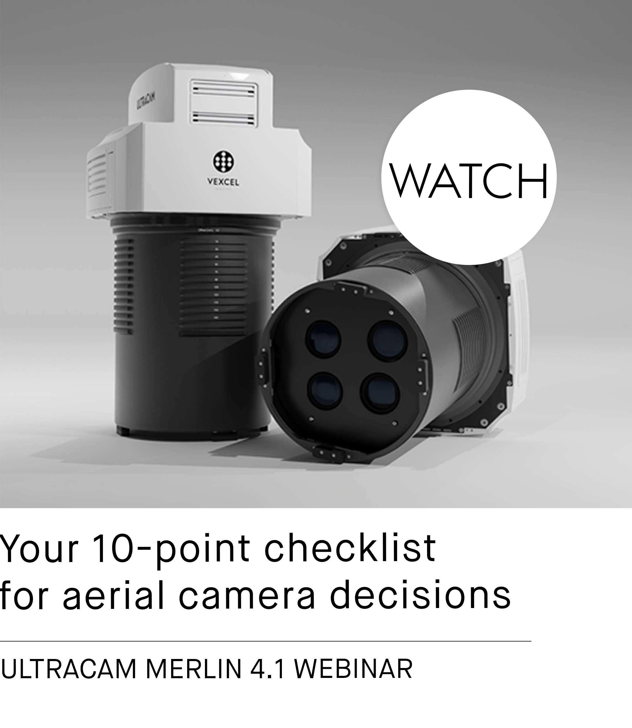
UltraCam Eagle 4.1 Webinar
Learn about the key features of the UltraCam Eagle 4.1 aerial camera and UltraNav v7 flight management and georeferencing solution.

Part of the family.
The UltraCam Dragon 4.1, as part of the Integrated line within the Vexcel ecosystem, benefits from high cross-product compatibility and world-class support.


Accurate and visually impressive imagery through Adaptive Motion Compensation.
Introduced with the 4th generation UltraCam architecture, Vexcel's proprietary Adaptive Motion Compensation (AMC) plays a significant role in the enhanced quality of imagery produced by the UltraCam Eagle 4.1 and other UltraCam 4th generation systems. This software-based approach corrects all image motion blur, regardless of direction and image scale. The result is imagery that is exceptionally sharp and detailed. In the above image at a zoom level of 200%, the difference between no motion compensation and AMC can be observed by moving the arrow left and right.

Efficient Data Processing.
Customers can leverage the complete range of advanced features offered by UltraMap Essentials, complemented by RIEGL’s RiProcess—both purpose-built software solutions tailored for the camera and LiDAR scanner.


"We continue to choose the UltraCam Eagle over other systems on the market because of its large footprint, the user-exchangeable lens system and its state-of-the-art technology. With the Eagle 4.1, we can provide our customers with highest quality imagery and data."
KAORU ORIMO, ULTRACAM EAGLE CUSTOMER
Smooth sailing.
The UltraMount product line dynamically stabilizes the UltraCam Dragon 4.1 aerial mapping system in the aircraft during the exposure for the best possible data quality.
Always on track.
The UltraNav flight planning and direct georeferencing solution optimizes your UltraCam data collection for highest productivity, precision and cost-efficient operations.
Downloads
The UltraCam Dragon 4.1:
Expand your perception!

Hybrid aerial mapping system.
Features

Powerful 2.4 MHz RIEGL LiDAR scanner.
The LiDAR's fast pulse repetition frequency offers flexibility and enables faster data acquisition of a specified point density per square meter. Alternatively, when flying at lower speeds, customers can attain an even higher number of points per square meter.

By loading the video, you agree to YouTube's privacy policy.
Learn more

Nadir scan view.
The LiDAR scanner’s unique scan line pattern features five scan lines, including a true nadir scan line that captures 3D points even within the narrowest urban canyons.

Two focal length options.
The system offers versatility with a choice of two focal lengths to match the ideal flying height in compliance with local regulations and conditions.

Efficient flight patterns.
An optimal ratio of nadir to oblique cones, along with intelligent alignment of the oblique cones, results in optimized resolution and better coverage across track. When paired with the regular scan grid of the LiDAR scanner, the flight pattern is optimally aligned.
UltraCam Eagle 4.1 Webinar
Learn about the key features of the UltraCam Eagle 4.1 aerial camera and UltraNav v7 flight management and georeferencing solution.

Part of the family.
The UltraCam Dragon 4.1, as part of the Integrated line within the Vexcel ecosystem, benefits from high cross-product compatibility and world-class support.

Efficient Data Processing.
Customers can leverage the complete range of advanced features offered by UltraMap Essentials, complemented by RIEGL’s RiProcess—both purpose-built software solutions tailored for the camera and LiDAR scanner.


"We continue to choose the UltraCam Eagle over other systems on the market because of its large footprint, the user-exchangeable lens system and its state-of-the-art technology. With the Eagle 4.1, we can provide our customers with highest quality imagery and data."
KAORU ORIMO, ULTRACAM EAGLE CUSTOMER
Smooth sailing.
The UltraMount product line dynamically stabilizes the UltraCam Dragon 4.1 aerial mapping system in the aircraft during the exposure for the best possible data quality.
Always on track.
The UltraNav flight planning and direct georeferencing solution optimizes your UltraCam data collection for highest productivity, precision and cost-efficient operations.
Downloads
The UltraCam Dragon 4.1:
Expand your perception!


