Image
Menu
  • PRODUCTS
    • UltraCam
      Merlin
    • Menu_Thumbnail_UCE4.1_150x235pxUltraCam
      Eagle
    • Menu_Thumbnail_UCO4.2+NEWButton_150x235pxUltraCam
      Osprey
    • Menu_Thumbnail_UCC4.1_150x235px_LogoUltraCam
      Condor
    • UltraCam
      Dragon
    • UltraMap
      suite
    • UltraNav UltraMount See all Products
  • DATA PROGRAM
  • NEWSROOM
  • INSIGHTS
    • Videos
    • Webinars
    • Papers
    • Case Studies
    • Sample Data
    • UltraMap Hub
    • NEWSROOM
  • COMPANY
    • About
    • UltraCam Family
    • ISO 9001
    • Careers
Menu
  • CONTACT
    • Sales
    • Support
    • Locations
Image
Watch now
Two new UltraCams released

UltraCam Osprey 4.2 Sample Data

UltraCam Osprey 4.2 Sample data

Explore sample data from the Osprey 4.2, designed for simultaneous nadir and oblique image capture.

Read More

UltraCam Dragon 4.1 Sample Data

UltraCam Dragon 4.1 imagery and LiDAR data

High-resolution imagery and precise LiDAR data from our first hybrid aerial mapping system.

Read More

UltraCam Merlin 4.1 Sample Data

See for yourself the best-in-class image quality offered by the UltraCam Merlin 4.1 models.

Read More

UltraCam Eagle 4.1 sample data

UltraCam Eagle 4.1 sample data

Check out the new sample data of the UCE 4.1, the pinnacle of nadir photogrammetric aerial cameras.

Read More

UltraCam Condor 4.1 sample data

UltraCam Condor 4.1 sample data

Take a look at the UCC 4.1 sample data and gain an insight into the outstanding image quality.

Read More

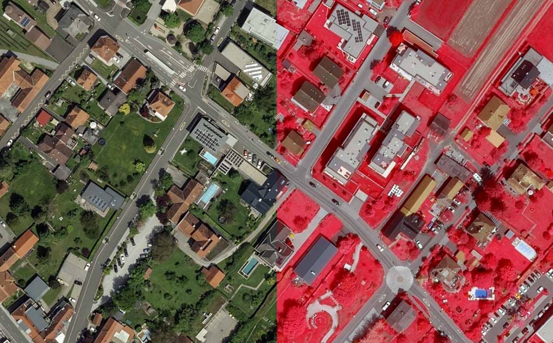
UltraCam Osprey 4.1 sample data

Sample data UCO 4.1

Check out the new sample data of the UCO 4.1 and gain an impression of the excellent image quality.

Read More

Welcome to our new Vexcel Imaging Blog

Our new blog allows you to keep up to date with UltraCam and UltraMap technology.

Read More
The Global Leaders in Aerial Imaging.
Vexcel provides industry-leading mapping systems, a dedicated fleet of fixed-wing aircraft, and the largest, most accurate aerial imagery and geospatial data program on the planet.
linkedin
facebook
youtube
youtube
Want the latest and greatest from our UltraCam blog straight to your inbox? Sign up for our newsletter
UltraCam aerial mapping systems and software. vexcel-imaging.com
Aerial imagery and data for government and business. vexceldata.com
Aerial surveys by fixed-wing aircraft. kasurveys.com
© 2025 Vexcel Imaging GmbH
  • Careers
  • Cookie Preferences
  • Privacy Policy
  • Imprint
  • Intranet
Get the latest news and updates in our Vexcel newsletter.

You are currently viewing a placeholder content from Google reCaptcha. To access the actual content, click the button below. Please note that doing so will share data with third-party providers.

Unblock content Accept required service and unblock content
More Information
  • PRODUCTS
    • ←
    • UC Merlin
    • UC Eagle
    • UC Osprey
    • UC Condor
    • UC Dragon
    • UltraMap suite
    • UltraNav
    • UltraMount
    • See All Products
  • DATA PROGRAM
  • NEWSROOM
  • INSIGHTS
    • ←
    • Videos
    • Webinars
    • Papers
    • Case Studies
    • Sample Data
    • UltraMap Hub
  • COMPANY
    • ←
    • About
    • UltraCam Family
    • ISO 9001
    • Careers
  • SEARCH
  • CONTACT
    • ←
    • Support
    • Sales
    • Locations