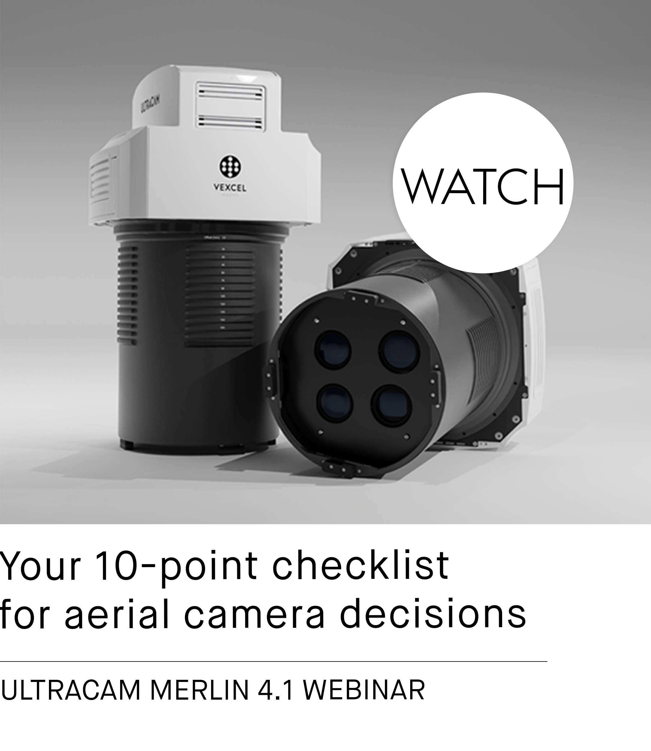
UltraCam Merlin 4.1 Sample Data

Sample data from both UltraCam Merlin 4.1 models (3020 and 2010) are now available. Processed with the latest UltraMap version 6.2.1, these samples showcase the capabilities of the system's advanced imaging technology. However, don't just take our word for it! Download the data from our FTP server or contact our sales team to gain access. See for yourself why the UltraCam Merlin 4.1 sets a new benchmark in image quality within the market’s Bayer pattern sensor class.
The data benefits from advanced de-Bayering and intelligent noise reduction techniques, part of our True Pixel Processing (TPP) approach. The result is images with reduced noise and a sharper, cleaner look, significantly enhanced by our multi-directional and scene-aware Adaptive Motion Compensation (AMC).
There are two ways for you to verify the quality of the data:
- Raw Data Access: Customers can process the raw data themselves using UltraMap to gain firsthand experience with the data quality.
- Processed Data Results: For those interested in immediate insights, processed data results, including AT, DSM, DTM and orthomosaics, are available in standard file formats.
This dual approach allows you to not only see the potential of the UltraCam Merlin’s imaging performance but also to work with the data in a way that best suits your needs.
High-resolution images.
See the difference between CIR and RGB imagery by moving the arrow to the left and right.

About the UltraCam Merlin 4.1
The UltraCam Merlin series is designed to enhance aerial mapping efficiency. With rapid frame rates and large footprints, these models help reduce project costs while covering more area. Their true nadir alignment avoids interpolation, ensuring accurate pixel representation.
UltraCam Merlin 4.1 2010: A cost-effective solution for small to mid-size projects or suitable for companies expanding into aerial mapping.
UltraCam Merlin 4.1 3020: Ideal for mid to large-scale projects, focusing on efficiency and comprehensive coverage.
These models demonstrate our commitment to improving aerial mapping technology, offering solutions tailored to various project scales.


