
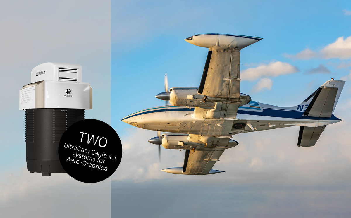
Aero-Graphics purchases two 4th generation UltraCam Eagle 4.1
Graz, Austria • February 13, 2023
The first two UltraCam Eagle 4.1 aerial imaging systems to land in North America have been purchased by Salt Lake City-based Aero-Graphics Inc. With delivery expected by March 2023, both nadir photogrammetric cameras are on track to be fully operational for the spring flying season.
The 4th generation UltraCam Eagle integrates significant technological improvements, including a move to CMOS sensors, a significantly increased frame rate, and a revolutionary Adaptive Motion Compensation (AMC) feature. Not content with mechanical methods or the notion of eliminating blur through shutter speed, Vexcel developed the proprietary AMC software approach to address image blur caused by multi-directional camera movement during the flight. This game-changing technology is unique to UltraCam systems and is included in the UltraCam Eagle 4.1.
“The 4th generation technology is a huge leap forward and truly an engineering marvel,” said Casey Francis, co-president of Aero-graphics Inc. “Probably the most significant factor in our decision to purchase the Eagle 4.1 is the new motion compensation capability. The AMC technology detects any motion blur and removes it in all three axes, allowing us to avoid time consuming and costly re-flights.”
The UltraCam Eagle 4.1 collects high-resolution panchromatic, R, G, B and NIR information at over 500 Megapixels, delivering more data in less time, ranging from low altitude engineering applications to high altitude orthophotography projects. The CMOS sensors use less power, transmit data faster, and operate well in low light, thus optimizing flying windows.
“The CMOS architecture is definitely superior for creating a sharper image and having four channels is critical for our customers to conduct advanced analysis,” Francis added. “UltraCam technology and UltraMap software working together speeds up our workflow so we can deliver data in a more accurate and timely manner than ever before.”
Aero-Graphics has been a Vexcel customer since 2008, first purchasing an UltraCamX, later followed by an UltraCam Eagle Mark 1 and an UltraCam Eagle Mark 3. Over the years, both companies have successfully evolved and grown while pursuing the goal of delivering success to their customers.
“We’ve built a great trusting relationship with Vexcel that is mutually beneficial,” Francis stated. “Our values align in that we’re driven to push the limits of technology to provide a better customer experience. We will adopt any technology that improves our ability to power our customers' decisions and success.”
Alexander Wiechert, CEO of Vexcel Imaging, said about the acquisition of the new technology by Aero-Graphics, “Today, we celebrate a proud moment as our long-standing and valued customer, Aero-Graphics, again adopts the latest UltraCam cutting-edge technology. This transaction is a testament to the trust and confidence our customers have in our solutions and is a statement about the dedication Aero-Graphics has to providing their clients with unrivaled data products.”
About Aero-Graphics Inc.
Aero-Graphics is a privately owned, full-service geospatial services company located in Salt Lake City, Utah. For over 56 years, Aero-Graphics has built a reputation for helping clients discover solutions that uniquely meet their challenges and deliver success. Aero-Graphics operates the latest digital systems, producing classified LiDAR datasets, digital topographic maps, and orthorectified imagery for clients across many different industries, including Transportation, Resource Management, GIS, Civil Engineering, Mining, Utilities, Forestry, and more. For information: Call us at (801) 487-3273 or visit our website.
About Vexcel Imaging
Vexcel Imaging, a global leader in aerial imaging, develops cutting-edge large-format aerial cameras and photogrammetric software with innovative approaches, and places an emphasis on continuing product upgrades and world-class support. The broad UltraCam aerial camera portfolio covers all applications in airborne photogrammetry—from nadir to oblique to wide-area data collection. UltraCam data is processed with the UltraMap photogrammetry software, providing an end-to-end processing workflow for highly automated, quality data products that include point clouds, digital surface and terrain models, orthophotos and 3D TINs.


