Image
Menu
  • PRODUCTS
    • UltraCam
      Merlin
    • Menu_Thumbnail_UCE4.1_150x235pxUltraCam
      Eagle
    • Menu_Thumbnail_UCO4.2+NEWButton_150x235pxUltraCam
      Osprey
    • Menu_Thumbnail_UCC4.1_150x235px_LogoUltraCam
      Condor
    • UltraCam
      Dragon
    • UltraMap
      suite
    • UltraNav UltraMount See all Products
  • DATA PROGRAM
  • NEWSROOM
  • INSIGHTS
    • Videos
    • Webinars
    • Papers
    • Case Studies
    • Sample Data
    • UltraMap Hub
    • NEWSROOM
  • COMPANY
    • About
    • UltraCam Family
    • ISO 9001
    • Careers
Menu
  • CONTACT
    • Sales
    • Support
    • Locations
Image
Watch now
Two new UltraCams released

Unlocking precision: Kokusai Kogyo’s geospatial success with UltraMap

Vexcel visiting Kokusai Kogyo from Japan

Kokusai Kogyo stands out in Japan for its high-level orthophoto quality achieved with UltraMap.

Read More

AVT Airborne Sensing captures hometown of UltraCam

AVT Airborne Sensing Team

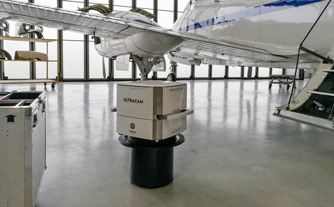
AVT Airborne Sensing conducted an aerial image flight over Graz using an UltraCam Osprey 4.1.

Read More

FMM specialized in forestry surveying from above

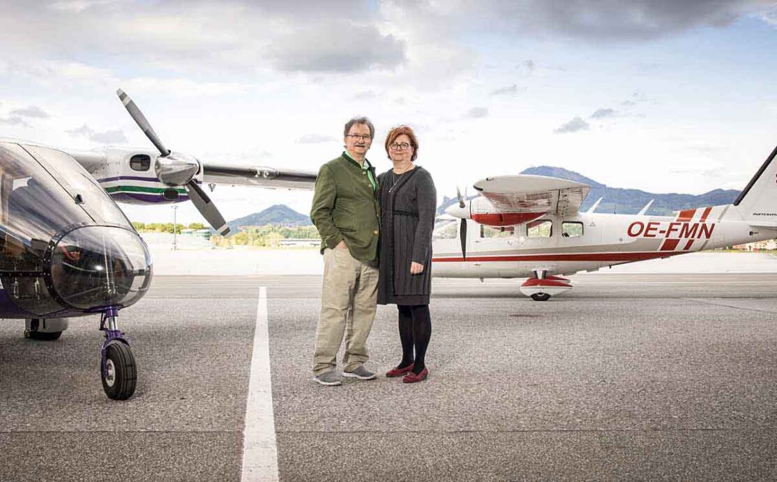
Forest Mapping Management (FMM), a proud UltraCam customer, is reinventing forestry surveying.

Read More

IGN uses three UCE M3 for regular French state aerial survey production

IGN's UltraCam Eagle M3

IGN acquired three UltraCam systems, taking aerial surveying in France to the next level.

Read More

Hansa Luftbild takes off with a new UltraCam

Hansa Luftbild Aircraft and UltraCam

Hansa Luftbild purchased a new UltraCam Eagle Mark 3 to perfectly meet their customer requirements.

Read More

L&S Department Sabah convinced by UltraCam technology

Read about why L&S Department Sabah decided on an UltraCam and which requirements had to be met.

Read More

UltraCam maximizes efficiency for Arrowhawk

Aircraft from customer Arrowhawk

Customer Arrowhawk appreciates Vexcel’s technology, as it offers them a competitive advantage.

Read More

Why Terratec from Norway chose UltraCam

Terratec from Norway

Check out the iFlyUltraCam video of Terratec, talking about the challenges in Norway.

Read More

Geofit gains unprecedented levels of precision

Customer Geofit Expert appreciates the precision and efficiency of Osprey and UltraMap.

Read More
The Global Leaders in Aerial Imaging.
Vexcel provides industry-leading mapping systems, a dedicated fleet of fixed-wing aircraft, and the largest, most accurate aerial imagery and geospatial data program on the planet.
linkedin
facebook
youtube
youtube
Want the latest and greatest from our UltraCam blog straight to your inbox? Sign up for our newsletter
UltraCam aerial mapping systems and software. vexcel-imaging.com
Aerial imagery and data for government and business. vexceldata.com
Aerial surveys by fixed-wing aircraft. kasurveys.com
© 2025 Vexcel Imaging GmbH
  • Careers
  • Cookie Preferences
  • Privacy Policy
  • Imprint
  • Intranet
Get the latest news and updates in our Vexcel newsletter.

You are currently viewing a placeholder content from Google reCaptcha. To access the actual content, click the button below. Please note that doing so will share data with third-party providers.

Unblock content Accept required service and unblock content
More Information
  • PRODUCTS
    • ←
    • UC Merlin
    • UC Eagle
    • UC Osprey
    • UC Condor
    • UC Dragon
    • UltraMap suite
    • UltraNav
    • UltraMount
    • See All Products
  • DATA PROGRAM
  • NEWSROOM
  • INSIGHTS
    • ←
    • Videos
    • Webinars
    • Papers
    • Case Studies
    • Sample Data
    • UltraMap Hub
  • COMPANY
    • ←
    • About
    • UltraCam Family
    • ISO 9001
    • Careers
  • SEARCH
  • CONTACT
    • ←
    • Support
    • Sales
    • Locations